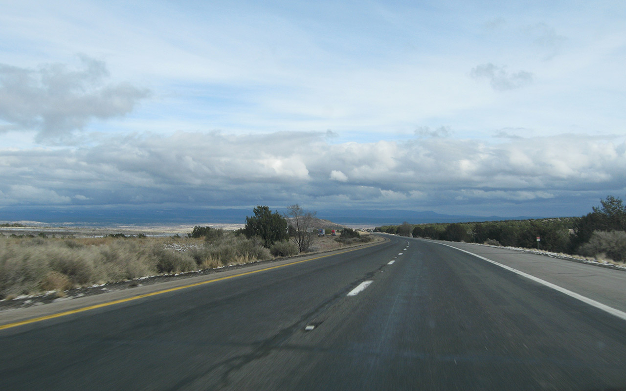
Archive for the ‘Current Conditions’ Category

Whitney Fish Hatchery Destroyed

Wednesday, July 16th, 2008

More storm news from the Eastern Sierra. Looks like last year’s fires were a factor in this. The mudslide occurred over fire-blackened land.

Whitney Weather: Storms & Closed Roads

Tuesday, July 15th, 2008

Sounds like it was a wild weekend in the Whitney Portal region, with heavy storms closing the portal road (due to mudslides) and even Highway 395 (which remains closed at Independence - detour available).

Posters on the Whitney Portal Store Forums have a thread going which talks about the conditions. Sounds like a lot of people got blasted by intense thunderstorms. If you’re planning a Whitney climb this week, be sure to check the board for current conditions. And if you see thunderstorms developing rapidly, get off the ridgelines and head for safer ground.

Sierra Snow: Update

Thursday, May 29th, 2008

Rock Creek Snow

SMS Leader Alvin Walter sent me a few photos from his trip up the Sierra’s Rock Creek drainage over Memorial Weekend.

Alvin encountered ‘full winter conditions’ with up to a foot and a half of new powder.

Looking at all that gorgeous snow, all I can think is, where were you three months ago!

Sounds like those of you who braved the mixed forecast over the weekend got some excellent late-season skiing.

Farther south, people are reporting about a foot of new snow above 10,000′ in the Whitney Region.

With the switchbacks above Trail Camp completely covered, that’s going to be more than enough to abort summit bids for most parties. So, for the time being, expect challenging conditions if you have hiking or climbing plans in the Sierra.

As for skiing, it’s hard to say what you’ll find over the next few weeks. With such a wide variety of conditions across the range, from sun cups to ice to bare rock, that foot or so of new snow has a lot of work to do to make for sustainable skiing—especially when you factor in an unfiltered June sun. It may be that Memorial Day was the last big hurrah for Sierra Skiing. Or maybe there are a few fine stashes still waiting to be found.

Rain, Hail, Lighting, Snow…Tornado?

Thursday, May 22nd, 2008

SoCal Thunderstorm

I was walking out my door today around 5 p.m. on the way to the grocery when the sudden rumble of thunder stopped me.

Hmm…I guess those black clouds on the horizon weren’t fog, after all. SoCal weather took a turn for the bizarre today, with the full gamut of weather phenomena.

Here at the SierraDescents command center, we got heavy rain and lightning.

For those unfamiliar with Southern California, rain this time of year is exceedingly rare, and thunder is rare year-round (more…)

Sierra Report: South Lake, Tioga

Monday, May 5th, 2008

Grab your car keys: Tioga Pass Road is open to Ellerly Lake and the Yosemite park entrance, coming from Highway 395.

Reports are that snow was very hard and frozen last weekend, with little softening, thanks to chilly temps (and even some rain). Mount Dana does not sound fun: rocky upper and too much bare ice on the couloirs below.

South Lake may have the best skiing until things soften up farther north. Sun cups are reportedly manageable in the area.

Horseshoe Meadows Road is now open to the meadows gate, with the campground roads still snowbound beyond. Haven’t heard anything about skiing here or the Langley region, except for this report of skiing Langley’s Northeast Couloir. Looks a little bare to me.

I’m debating the fairly crazy notion of a Bairs trip this weekend. Guess Birch Mountain didn’t beat me up enough—though it did take a full week to recover.

As for the local mountains, I haven’t heard anything. I do believe there’s still snow on north aspects, but no word as to whether or not it’s soft enough for good skiing.

Whitney Portal Road: ‘Closed’ vs. Closed

Saturday, March 29th, 2008

Well, I drove up to Lone Pine yesterday with big plans for some climbing and skiing in the Whitney Portal region, only to discover the road, which is normally “closed” for winter had been Closed.

Seems the issue is the powers that be have decided to open Whitney Portal Road (earlier and earlier each year, isn’t it?), so they graded a sand berm across the road to Close it while they’re opening it (ie, clearing boulders and snow). It all makes sense, I suppose, though I wish they hadn’t decided to Open the road (aka Close it) on the weekend I happened to be driving up. The Visitor’s Center says they expect the road to be open as early as Monday of next week, so the open-closed ambiguity will be resolved for good soon, at least until next winter.

For the record: Whitney Portal Road is closed during the winter, though it is a fuzzy closure in that the road is not gated or otherwise physically blocked. My guess would be that CalTrans or whoever maintains the road and the National Forest Service don’t want to be liable for winter maintenance, or accidents, hence the closure policy, but at the same time they recognize that people want and expect vehicle access to the portal year-round, including winter. If you do observe the closure point, you are adding a withering 2000 vertical feet and three miles, one-way, to your Whitney approach, which is easily enough to ruin your plans.

Ah well, next time…

Route 2 - Mt. Waterman Report

Thursday, March 20th, 2008

Mt. Waterman

Mt. Waterman

Mt. Waterman

BUT IS THERE SNOW?

That’s certainly the question that was on my mind, so I packed up the skis and the boy and hit the road.

Figuring I’d try to find snow a little closer to home, I drove up Route 2 from La Canada.

I’ll tell you, things looked pretty bleak at first. When I passed the turnoff to Mt. Wilson, there wasn’t a speck of snow as far as I could see.

Thankfully, snow appeared a bit later, when I reached Mount Waterman (and the Mt. Waterman Ski Area - closed).

I parked the car around 6700′, put the boy in the Ergo, and did a very modest tour up to the ridge crest around 7300′ via some sort of decrepit rope tow path at the east end of Waterman.

Terrain for ski touring would be better straight up the peak from Route 2 a mile or so to the west, but I was looking for lower-angle fare today, seeing as I had a copilot.

At the crest, we played in the snow a bit, and I got to scout the surrounding area. Nearby Twin Peaks, which would be loosely accessible from the summit of Waterman, looked like it would make for a fine ski earlier in the season, when the south slopes of Waterman are covered. I’m always amazed by the steepness of the San Gabriel range, and its abundant (and technical) little summits. Put snow on these mountains, and there’s always a treat to be had.

Conditions at Mt. Waterman ski area looked totally doable. For such a small ski area, the terrain looked diverse and quite lively. I’ll have to give it a try sometime. Maybe the resort is still opening on weekends—I don’t know. Really, the only downside here (compared to the farther drive to Mt. Baldy Ski) is the slow, windy road, which pushes travel time up a bit.

I also got a chance to scout Mount Baldy’s north and west faces, which are easily snow-covered enough for skiing. Just be aware that either option requires you to summit first, then ski into no-man’s-land, then hike back to the summit to get home. Lots of work. Still, that’s probably where I’ll be this Saturday.

Bottom line: north-facing aspects in the eastern San Gabriels are still in good shape above 7000′, with a dense, 2-4′ snowpack that shows no sign of going anywhere in the near future.

Looking Out the Window

Friday, February 22nd, 2008

Flagstaff Snow

No, a sudden ice age has not sprung upon the L.A. Basin—we’re looking out the window from the homestead in Flagstaff, Arizona, where they’ve been having a magnificent winter so far, with more on the way.

Funny how I love to just sit in front of the window and watch it snow.

In the city, I have to try to get excited by the sight of rain falling on the sidewalk outside our apartment, imagining the snow falling up in the mountains. It’s a lot more fun to actually be in the mountains, waiting for my little boy to wake up so I can take him for a little cross-country ski tour…no two-hour drive required!

San Gabriel Backcountry Warning - UPDATE

Sunday, February 10th, 2008

Icehouse Canyon - Deadly Ice

Travelers in the San Gabriel Mountains should be alert for unusually treacherous icy conditions on all north and shaded aspects (including NE and NW) between approximately 6000 and 8500 feet.

I believe what we’re seeing is the top layer of snow that covered the ice crusts from the last storms has melted away, revealing smooth glittering clear ice.

These icy patches are particularly dangerous because they’re not apparent from a distance. Drifted snow and corn blends almost perfectly with these ice patches until you’re right on top of them. Be aware also that in some cases, a very thin layer of soft snow covers the ice, making it completely invisible. Travel across these ice crusts is impossible without an ax and crampons. Ski edges will not bite. I found these conditions ubiquitous within the Cucamonga Wilderness today, including aspects off Bighorn Peak, Ontario Peak, and Cucamonga Peak. Presumably, these ice crusts will be found throughout the range on north aspects in the transitional elevation zones where rain fell on snow.

I believe the worst of the ice will soon transition toward hard/frozen corn if these very warm temperatures persist—but that will still make morning travel potentially hazardous. Expect also to find lower elevations quickly melting out. For now, don’t be caught unaware. Climb it before you ski it, take your ice gear, and treat all steep shady north aspects with great caution.

UPDATE 2/11/08 — I just spoke with the Mount Baldy Visitor Center. They are strongly recommending against snow travel in the Icehouse Canyon area, and also confirmed there have been several fatalities due to people slipping on ice, including yesterday. Please be safe out there!

Southern Sierra Scouting Report

Friday, February 8th, 2008

Wondering what things look like in the Whitney region? How about a few Aerial Shots by a USMC pilot? Spectacular!

» Back to Home

SierraDescents Features