Skiing Abineau Canyon—Sort of
We're in Northern Arizona right now, seeking snow and surgery. With regard to the surgery, we got great news. As for the snow...I decided I was going to hike up the San Francisco Peaks and ski whatever snow I could find—link patch to patch, if I had to.
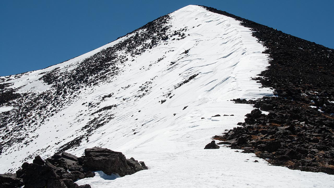
Abineau Canyon, on the northeast side of Humphreys Peak (Arizona's highest mountain, at 12,600') tends to hold the most snow in late spring—if you can get to it.
The road accessing this side of the mountain is closed in Winter by the Forest Service, mostly because they don't want people getting stuck in the mud and/or wrecking the waterlogged roads.
That leaves your basic Death March: park at the Arizona Snowbowl, and hike/traverse around the eastern side of the mountain to the summit, descend, and hike, hike, hike back to the car.
The hike is complicated by distance, hostile terrain, and legal restrictions—travel on bare talus above timberline is prohibited due to erosion/endangered species concerns.
I did successfully make the summit, and ski the northeast ridge, where a cornice still lingered. It felt good to be back atop my hometown mountain, and ski it. Once off the ridge, however, conditions were pretty much tragic.
Given the dearth of snow this year, I guess I'll have to write up a report of this savage little outing—though I hesitate to call it backcountry skiing.
— March 20, 2007
Andy Lewicky is the author and creator of SierraDescents