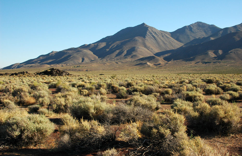
Photo Gallery
Sierra's End
Nearing the southern terminus of the Sierra Nevada range and Owens Valley, heading home after yet another happy adventure in the mountains.
San Jacinto Peak: Snow CreekConnecting San Jacinto Peak's snowy summit all the way to the Palm Springs Desert 9600' below.
Iron Mountain: The Couloir to NowhereA multi-year effort realized—and a high water mark in Southern California ski mountaineering.
Mount Tyndall: North RibThe author attempts to climb and ski Mount Tyndall via Shepherd Pass Trail in a single, merciless push.
San Jacinto Peak: East FaceA winter ski descent of Southern California's San Jacinto Peak, with untracked powder galore.
Birch Mountain: Southeast FaceA daytrip up an Eastside Giant turns into a marathon of snow fingers, sun cups, and shark fins in the dark.
Lone Pine Peak: East CouloirA challenging search for continuity and self on Lone Pine Peak's massive Northeast Face.
North Peak: North CouloirWinter snow turns this classic Sierra ice climb into one of the range's more challenging ski descents.
MT. SHASTA: AVALANCHE GULCH7000 vertical feet of superb July skiing down Avalanche Gulch, 14,162' Mount Shasta's popular climbing route.
MT. WILLIAMSON: BAIRS CREEK CIRQUE18,000 vertical feet in 24 hours — a big-mountain climb and summit ski descent of 14,375' Mt. Williamson.
MT. LANGLEY: NORTHEAST COULOIRSummit ski descent of 14,027-foot Mt. Langley's Northeast Couloir, plus the east face's 55° 'Needle Variation.'