Waterline to Abineau
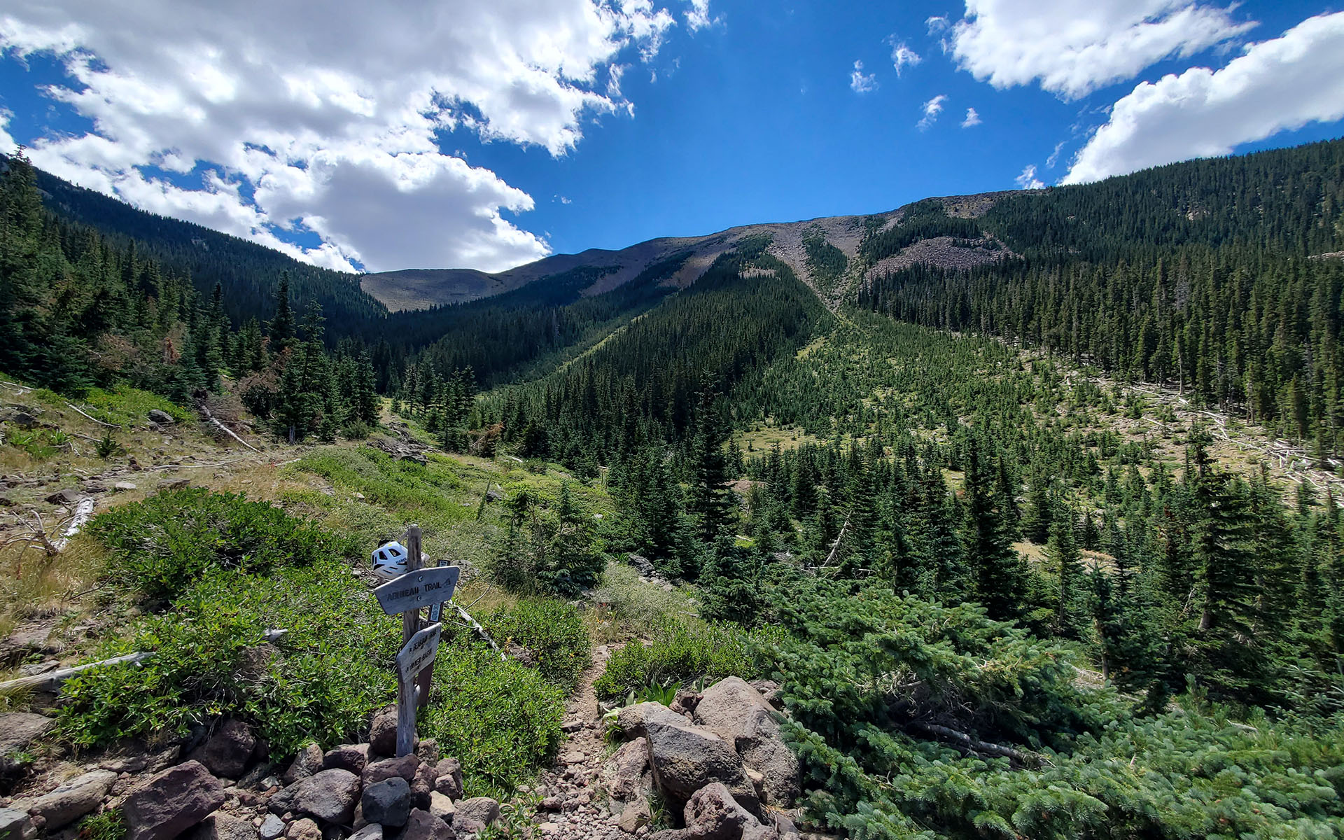
Wherever you start from, it's a long haul to the end of Flagstaff's Waterline Road—but wow what a view. The road tops out at 10,320', dropping you right at the base of Abineau Canyon's three main avalanche gullies.
Built to carry water to the city of Flagstaff, Waterline traverses the east and north aspects of the San Francisco Peaks, taking you from the denuded devastation of the Shultz (and Tunnel and Pipeline) fire burn scars to the sublime aspens of Inner Basin to the spruce and fir forests beyond.
It's a dizzying journey through radically different life zones, best done on a mountain bike, given the gentle grade and long mileage. You can bike this all the way from downtown Flagstaff if you like, but I recommend starting at Lockett Meadow road to keep things civilized.
Ideally, get dropped off at Lockett Meadow, and then bike all the way back to town for an unforgettable high-altitude Arizona adventure.
— August 13, 2025
Andy Lewicky is the author and creator of SierraDescents
Walter Kibler August 13, 2025 at 9:21 am
Is it just me, or does that shot look like the view of San Gorgonio from the South Fork? Anyway, beautiful photography as usual.
Andy August 13, 2025 at 10:42 am
There's definitely some similarity, although Abineau's avalanche chutes are a lot more dramatic (and the microclimate more verdant)
Brad Brown August 13, 2025 at 2:32 pm
What’s the on mountain stats ? Cool mountain and seems so not Arizona!
Joseph J Gregory October 10, 2025 at 3:16 pm
I've still never been up SFP. I think I've been missing out.