January, in Brief
The big news would be the destruction of Highway 2, which cruelly brings to an end 2025's three-month Socal backcountry skiing miracle: drive-up access to snow.
I haven't seen the damage in person, but various social media posts show at least four major sections of the road as completely destroyed—not just the pavement washed away, but entire graded sections gone entirely.
Given the extent of the carnage, I would not be surprised if there are internal discussions happening regarding the future viability of the highway. In any case, at current repair paces and capability, we may be entering a period when Caltrans simply can't keep up with mother nature.
To add to the pain, Mount Waterman's base lift appears to be a total loss as well—though perhaps this finally just makes Waterman's demise official. As for Buckhorn, it's apparently now a lake.
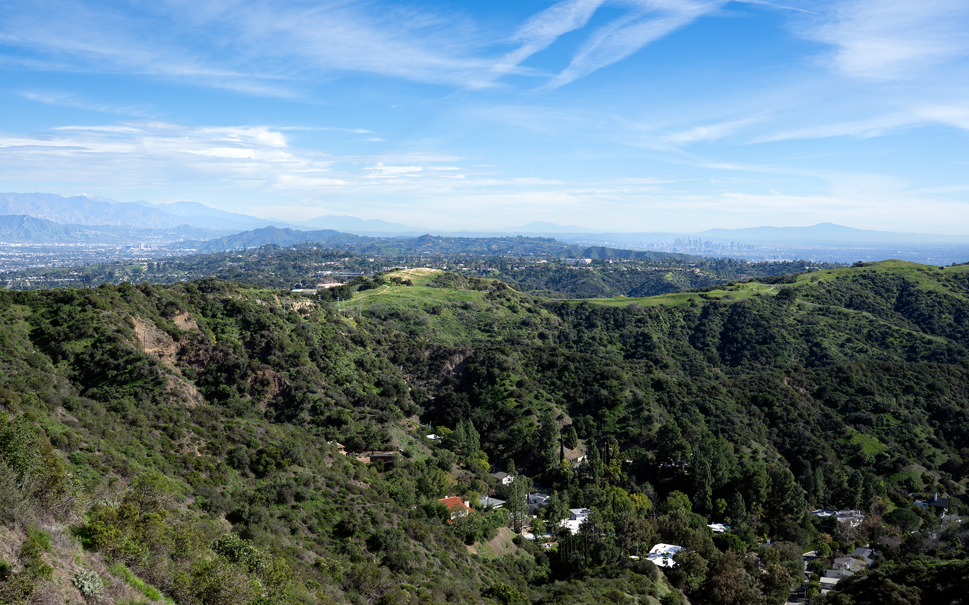
All of this has admittedly put me into a funk. Yes, we have other ranges, and other ways to access the San Gabriels. But nothing compares to the speed and ease of parking at Dawson Saddle.
Be aware that various government agencies and search and rescue organizations are reporting pervasive treacherous ice throughout the major SoCal ranges. This includes the San Bernardino mountains in particular—ie, where you may now be tempted to go.
For me, it's a time to reset and see what the weather does next. Everything I've seen suggests the SoCal ranges are currently appropriate only for ice climbers and well-equipped but otherwise unreasonable skiers.
If you must go, bring ice tools and be 100% sure the snow is edgeable before you drop in. I've been in situations where you're unexpectedly forced to transition to axe and crampons with your life as the ante. It's not worth it.
— January 19, 2026
Andy Lewicky is the author and creator of SierraDescents
Walter Kibler January 19, 2026 at 9:34 pm
Well, with the trend of Socal winters starting in February and ending in late April these past few years, I'm still holding out on hope. Although the 2 was by far the most convenient, best route to get to good terrain. I don't know what I'm going to do now. Maybe the 39 up by Crystal Lake campground has some good backcountry access. I've only been there in the summer, so I don't know.
Daniel January 19, 2026 at 10:16 pm
An unfortunate end to a short 4 months of bliss. Thinking of better days ahead - the mountains have a way of quieting our worries.
Dan Conger January 20, 2026 at 7:17 am
The San Gabriels are such a rugged range. People from other parts of the state, in particular Tahoe region, often have no idea that San Gorgonio, at 11,500 feet, is taller than the highest peak on the Tahoe rim. Freel Peak is 10,800 feet (same height as San Jacinto).
A lack of major glaciation throughout the San Gabriel range actually has the effect of making those canyons and slopes steeper, with no broad U-shaped glacial valleys to build infrastructure in. Add to that the effects of having the San Andreas Fault run right through Wrightwood and along the northern base of the range and we can understand how that geology combined with the lack of glaciers helped to make it what it is.
I hope CALTRANS doesn't abandon Highway 2. It's a beautiful stretch of road. It's also sad to imagine the possibility of other SoCal ski areas, once thriving, shutting down for good. January has been so dry, and here in the Sac area we are still dealing with horrible Tule fog. Here's to hoping for a wetter 2nd half of winter.