Kearsarge Revisited
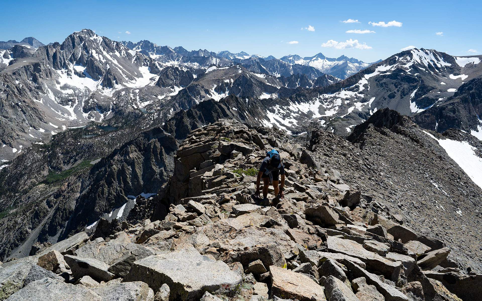
I first climbed 12,598' Kearsarge Peak via Lily Pass in 2014, and, as is often the case, my famously-bad memory recorded it as one of the easier of the eastern Sierra's big-peak scrambles.
It is direct, at least.
From the Onion Valley parking lot, elevation 9175', it's a you'll-barely-notice-it 2.25 miles to the summit. Or perhaps I should say, you won't notice how short the route is because it will feel like forever...
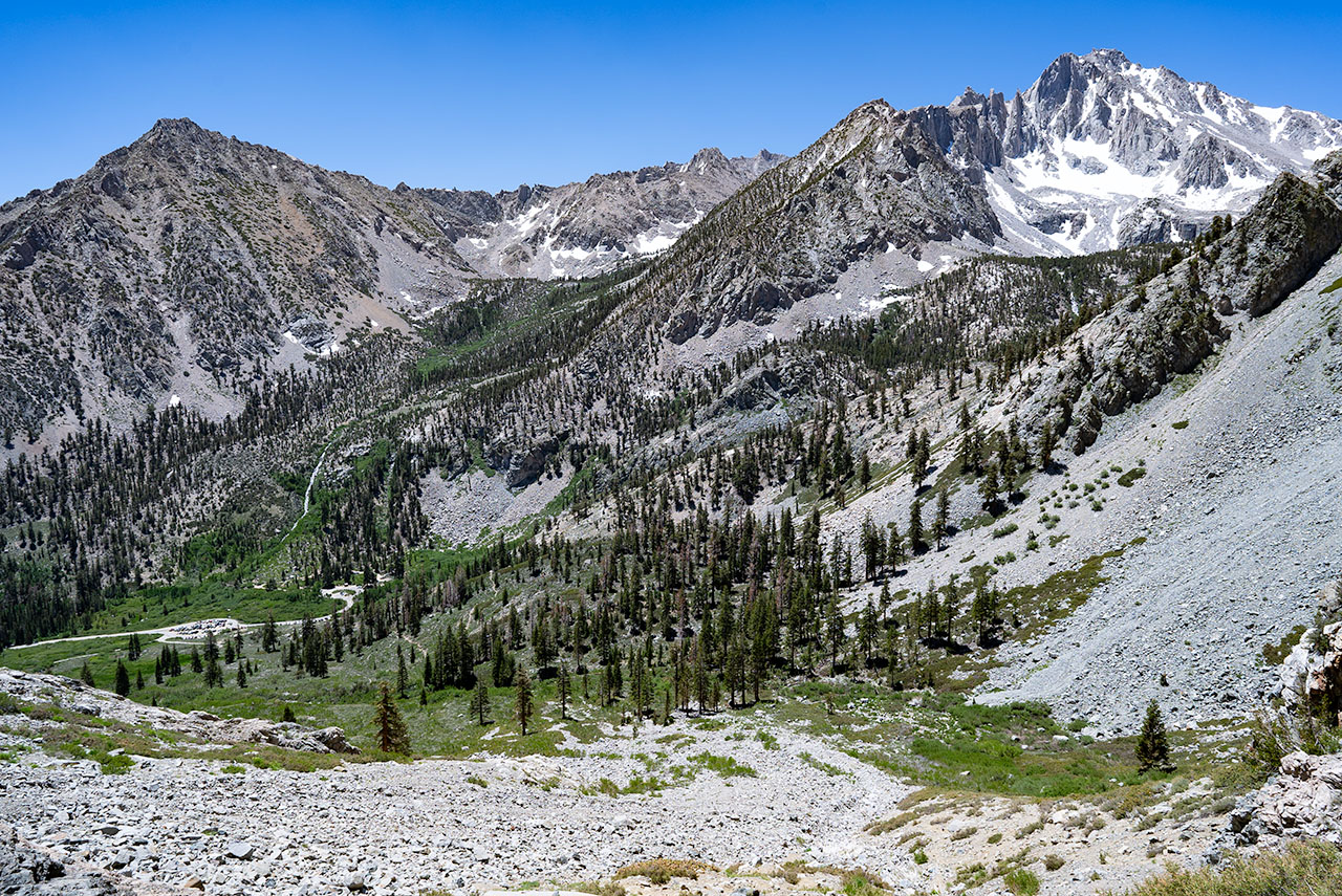
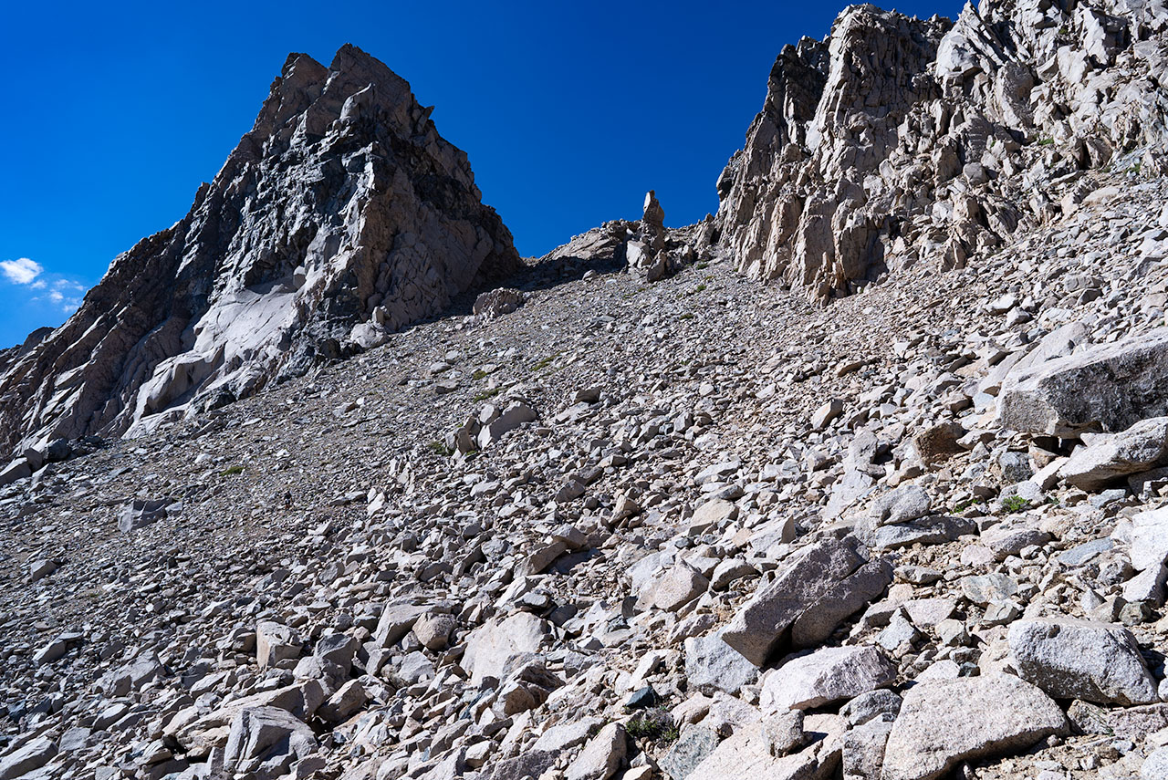
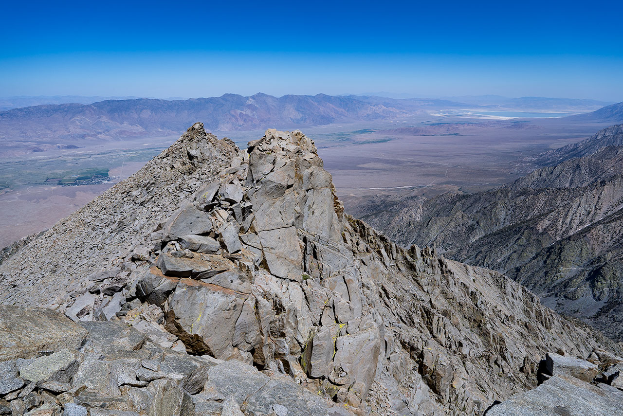
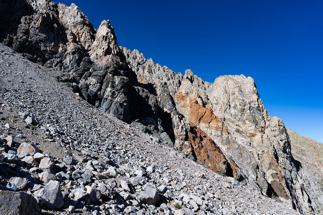
Kearsarge clearly qualifies as a member of the big-pile-of-rubble club, with more than enough steep and loose scree to test your physical and mental limits. If you go, be prepared to face a route that punches well above its weight.
For your troubles, however, you get to top an airy eastside giant that offers truly inspiring north-and-south views of the High Sierra and Owens Valley.
If that sounds tempting, let me offer a qualified recommendation: this is a more advanced scramble, best reserved for experienced talus travelers.
Stop reading here if you don't want any spoilers. For the sake of posterity, here are my notes on the climb:
In his guidebook Climbing California's Mountains, Jay Anderson claims Kearsarge's south face direct goes class 2. Sure it does, Jay! Remember these words: never trust Jay Anderson. :)
There might be a class 3 gully up the south face from Onion Valley to just east of the true summit, but from the look of it that could just as easily morph into a class 4 nightmare so be advised.
For the Lily Pass route you start on Kearsarge Pass trail, and then almost immediately divert north on the Golden Trout Lake "trail," which almost immediately degenerates into a very spotty use trail. If you lose the trail at the 10,000' bench (as we did), look for it to your left, where it unexpectedly climbs the south side of the drainage.
From the 10,000 foot bench (above the big waterfall) you can also traverse off-trail to the northwest, hiking or scrambling as necessary to gain an intermediary 11,200' bench which puts you in striking distance of Lily Pass (this way is more direct, but perhaps no better compared to just staying on the trail).
Either way, you'll know you're in the right spot when you reach the lakes basin; Lily Pass is the obvious low point on Kearsarge's west ridge. A small and distinctive spire splits the ascent gully into two halves. The right side offers firmer ground; left is much looser and may be better as a descent route provided you're not too alarmed by landslides.
From Lily Pass, you still have some distance to go—both vertically and horizontally. I am happy to report I matched my 2014 ascent pace, though I suspect I did quite a bit more gasping this time.
When/if you get to the summit, you probably aren't going to want to retrace your steps.
Surprise—you can exit to the east, which I think I'm going to recommend as the better alternative. Head east, descend the remains of an old mining trail, and follow the sandy/loose scree fields along the southeast ridge all the way back to Onion Valley Road. Note that this option is quite steep and loose toward the bottom; just tell yourself the other way is worse.
You'll probably be glad you have scree gaiters, if you've brought them. And you may want to budget some extra time regardless for getting lost and/or bogged down in sand. It is a great summit, and a classic Sierra scramble, in the full sense of the word.
Not for beginners.
— June 22, 2024
Andy Lewicky is the author and creator of SierraDescents
Ray July 7, 2024 at 10:03 am
Is this the peak at the top of Sardine Canyon which is a nice long vertical descent -- 5k +/- with a short hike at the bottom along dirt road to one of the switch backs on the OV road?
Mark August 12, 2024 at 9:12 am
Ray, yes it is . . . and an amazing backcountry ski descent.