
SierraDescents | 2008
April 27, 2008
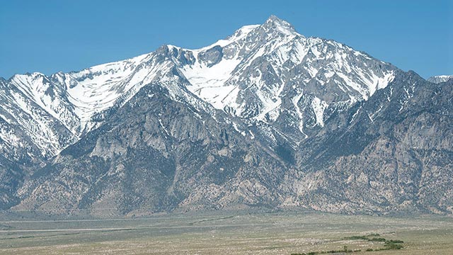
Birch Mountain Marathon
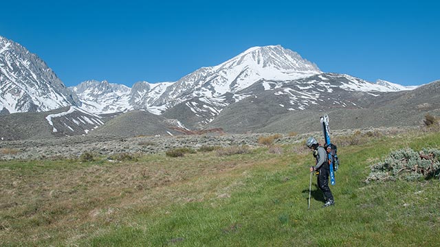
Saturday I skied Birch Mountain with a group of skiers from the Angeles Sierra Club's ski mountaineer's section. I don't get the opportunity to ski in groups that often, thanks (more)
April 22, 2008
Update: Quantum Love Affair Continues
Just made a few quick edits to my Black Diamond Quantum review. I've now had the pleasure of using both 45 and 55-liter versions of the Quantum. I like the extra volume of the (more)
April 21, 2008
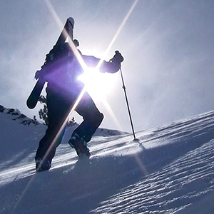
Williamson: Notes from the Field
Today's Notes from the Field come courtesy of my friend Bill, whose adventures on Mount Williamson served as an early inspiration to me on my own quest to ski California's (more)
April 21, 2008
Nalgene Phases Out Lexan
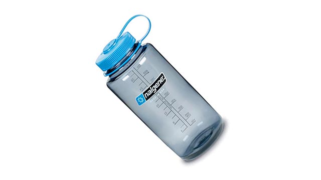
Nalgene has just announced the phase-out of BPA-containing bottles from its product lineup, including all polycarbonate (Lexan) water bottles. Any way you put it, this is a (more)
April 15, 2008
Tandem Skiing
Flagstaff had a great ski season this year, though, like California, the traditionally-big March ended up high and dry. Still, there's enough snow to ski on the mountain right (more)
April 10, 2008
Lone Pine Peak – East Couloir
Sometimes as a writer you just don't know how much information to give. It would be easy to present this as a dashing adventure in which I fearlessly charged into the unknown and (more)
PAGE 1 | 1