SierraDescents | Category | Hiking
June 3, 2025
Sullivan Canyon Reopens

Sullivan Canyon, in the Santa Monica Mountains, was closed for several years for pipeline maintenance (the land is owned by SoCal Gas) and then of course because of the Palisades (more)
April 29, 2023
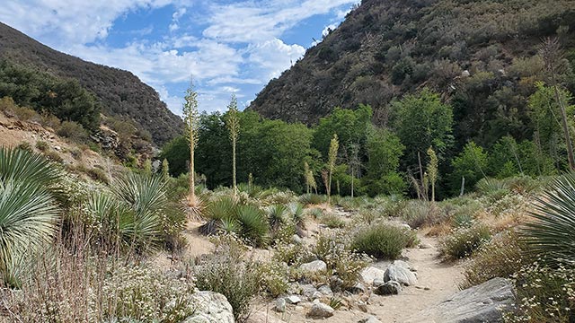
Williamson Creek
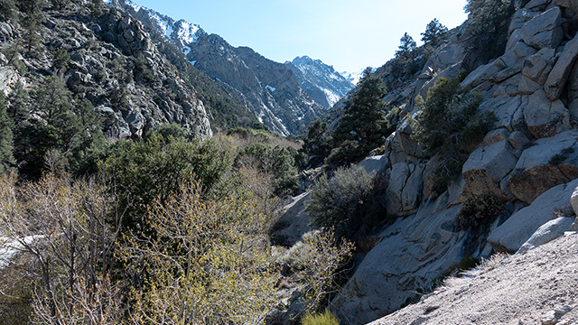
By reputation the Shepherd/Williamson Creek drainage is impassible—there must be some reason, after all, that they began the Shepherd Pass trail in an entirely different (more)
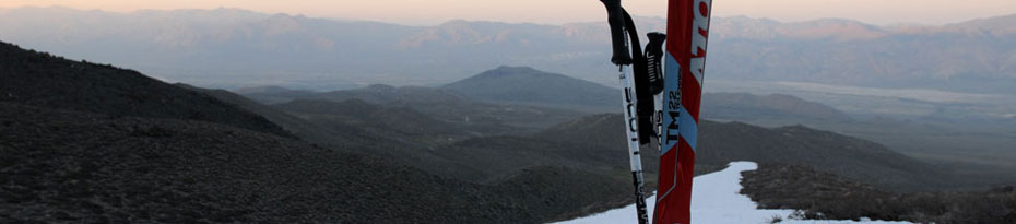
August 30, 2022
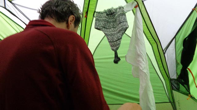
The Mountain Took My Phone, My Car, & My Tooth
Mountains demand sacrifices—we all know that. So when I accidentally left my phone atop Mount Baldy's west summit, I thought: Fine. Better than blood. My friend Matt (more)
July 9, 2021
Langley via the East-Southeast Ridge
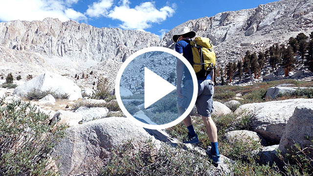
Mount Langley is California's southernmost fourteener and most definitely not California's most climbed mountain. Why doesn't Langley attract more attention? Maybe it's that (more)
June 23, 2021
San Gabriel Canyon
We hiked up the east fork of San Gabriel Canyon today, en route to that most enigmatic of SoCal landmarks, the Bridge to Nowhere. It was hot. Cloud cover helped, but it was (more)
May 22, 2021
Parker Mesa Loop
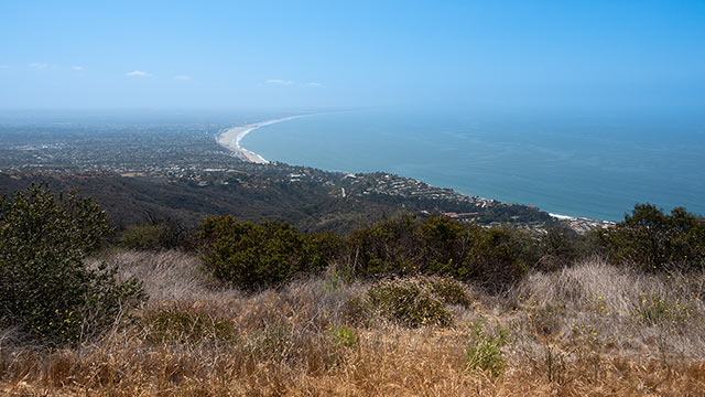
What I call the Parker Mesa Loop begins at the end of Los Leones Drive in Pacific Palisades, elevation 195', directly ascends a steep ridge via a use trail to Parker Mesa (more)
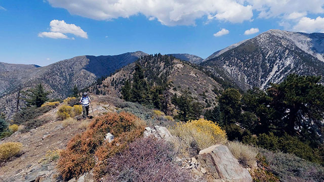
May 10, 2021
Mount Islip
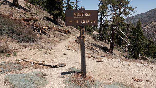
My son and I went up the 2 yesterday to Islip Saddle mostly because my family had hiked Mount Islip on Mother's Day in 2020, and I wanted to revisit the area and the memories of (more)
March 23, 2020
101 Switchbacks
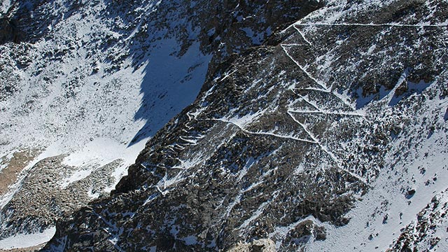
How many switchbacks are there between Trail Camp and Trail Crest on The Mount Whitney Trail? A lot. The exact number may never be known, but 101 seems to be the most popular (more)
September 15, 2015
Cottonwood Camp Strikes Again
Those of you who read about my rim-to-rim day hike a few years back may recall me mentioning the 1978 overnight I did with my parents to Cottonwood Camp, from the North Rim. On (more)
July 23, 2015
SP Crater
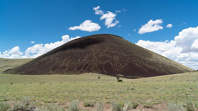
SP Crater is perfect: that is the lead. A gorgeous, perfectly-formed, symmetrical, aesthetic cinder cone volcano, SP Crater sits just north of Flagstaff and the San Francisco (more)
PAGE 1 | MORE