SierraDescents | 2009
February 27, 2009
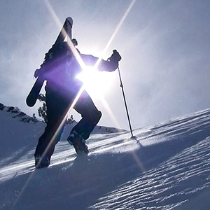
Gold Hill No. 9
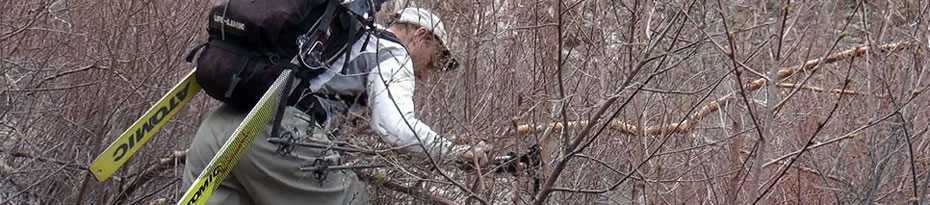
9:44 am atop Telluride, elevation 12,570'. A cold wind blasts across the ridge as my brother and I hop off the Revelation Lift and check the signs near the patrol hut. The (more)
February 22, 2009
Revelations
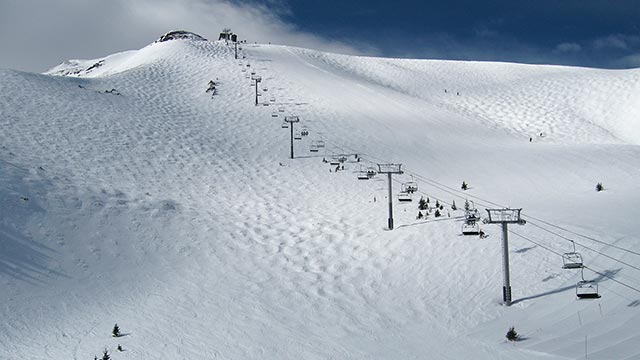
It feels like Europe says my brother. We are traversing into Telluride's newest terrain addition: Revelation Bowl. And yes, I think to myself, that's exactly what this is (more)
February 21, 2009
The San Francisco Peaks
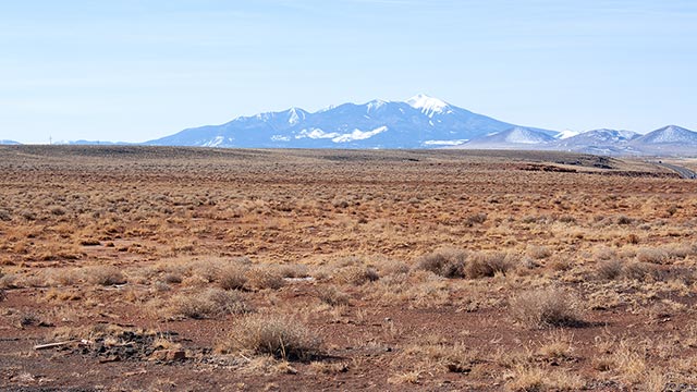
If there's a prettier mountain in the world, I don't want to know about it. Here's my hometown mountain, the San Francisco Peaks (Arizona's high point), as seen from the north. (more)
February 19, 2009
Snow Camping – Sleeping Pad Comparison
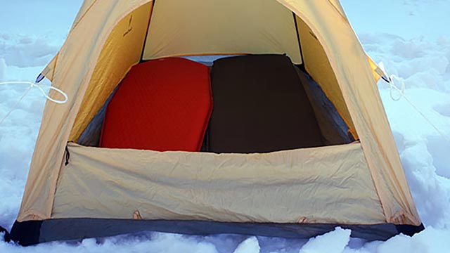
We're here in Flagstaff, AZ, en route to Colorado for our annual family ski vacation, and I've got my tent set up in my parents' yard. No—it's not that my folks are driving (more)
February 15, 2009
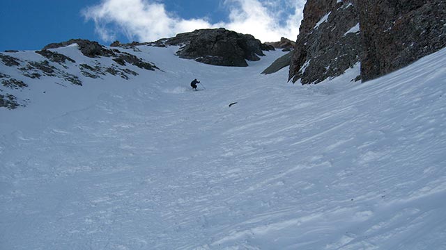
Baldy Bowl – Hourglass Chute
Maybe Yes Maybe No was kind of the theme today. I was looking for an excuse to stay home, but with our ever-changing forecast pushing the expected storm one more day yet again, I (more)
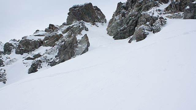
February 9, 2009
San Jacinto Peak: East Face
Can this possibly be Southern California backcountry (more)
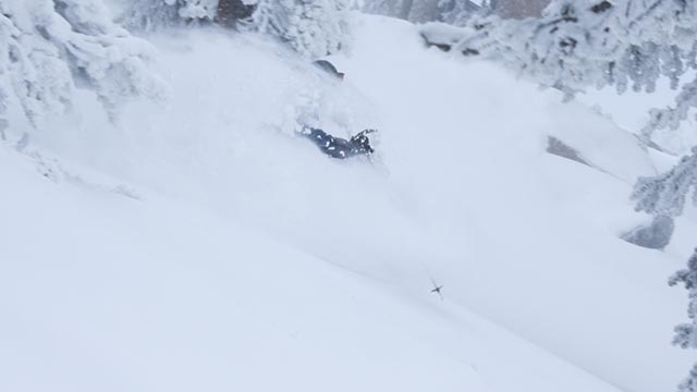
February 7, 2009
Snow!
It feels like the SoCal ski season just got a last-minute governor's reprieve. As of Saturday morning, this series of storms has left a reported 36" of new snow at Mt. Baldy Ski (more)
February 4, 2009
Mingori-Greenberg: “Backcountry Skiing”
Mammoth Lakes climber/photographer Dan Mingori and Eastern Sierra Avalanche Center co-founder Nate Greenberg have released a new backcountry skiing guidebook, Backcountry Skiing (more)
PAGE 1 | 1